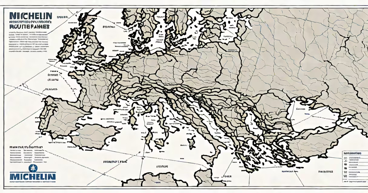
The Michelin Route Planner Europe is a digital and print-based navigation tool that generates optimized driving routes across continental Europe using Michelin's proprietary road network data, terrain mapping, and real-world traffic patterns. It prioritizes scenic roads, avoids tolls when selected, and integrates fuel station locations, rest areas, and points of interest based on Michelin's long-standing field research.
Michelin began producing road maps in 1900, and its route planning system evolved from hand-drawn maps to algorithm-driven digital tools. The current online version, available at michelin.com, allows users to input start and end points, set preferences like "scenic" or "shortest distance," and receive turn-by-turn directions with estimated times, speed limits, and elevation changes. It supports multiple languages and exports routes to GPS devices or mobile apps.
Unlike generic route planners such as Google Maps or Apple Maps, Michelin's system emphasizes driver experience over pure speed. It factors in road quality, visibility, and winding sections to avoid high-stress highways. For example, a route from Lyon to Nice via the Col de la Lombarde includes warnings about steep gradients and narrow switchbacks-details often omitted by other services. This focus stems from Michelin's original mission: to improve safety and comfort for drivers.
The Michelin Route Planner uses a layered database combining official government road data, real-time traffic feeds from national transport agencies, and field surveys conducted by Michelin's own cartographers. These teams drive thousands of miles annually to verify road conditions, signage accuracy, and surface quality-data not publicly available elsewhere.
When you enter a route, the system runs a multi-criteria optimization algorithm. It balances time, distance, fuel consumption, and driver comfort. You can choose between "Fastest," "Shortest," "Scenic," or "Toll-Free" options. Selecting "Scenic" reroutes through mountain passes like the Gorges du Verdon or the Dolomites, even if they add 45 minutes to travel time.
Each route includes a downloadable PDF with full details: total distance (in km), expected fuel cost (based on average vehicle efficiency), recommended rest stops every 2 hours, and weather forecasts for key regions. The system also flags high-risk zones-such as fog-prone areas in northern France or avalanche paths in the Swiss Alps-using historical incident data.
Michelin offers three primary versions of the Route Planner for Europe:
| Version | Access Method | Key Features | Best For |
|---|---|---|---|
| Online Tool | Web browser | Real-time traffic, toll avoidance, multilingual support, exportable PDFs | Planning trips in advance |
| Mobile App | Android/iOS | Offline maps, voice guidance, integration with car Bluetooth, live fuel price updates | On-the-go navigation |
| Printed Atlas | Physical book | High-resolution maps, fold-out sections, detailed town guides, Michelin Green Guide recommendations | Travelers who prefer tactile maps or want backup during poor signal areas |
For instance, a user planning a trip from Amsterdam to Barcelona chose the "Scenic" option. The planner returned a 1,620-km route passing through the Pyrenees, with 14 designated rest stops and 3 recommended lunch spots near vineyards. The app also flagged a stretch near Andorra where cell service drops-information not shown in standard GPS apps.
Many assume Michelin Route Planner Europe is just a branded version of Google Maps. That's incorrect. While both offer turn-by-turn navigation, Michelin's data is updated biannually by dedicated survey teams, whereas Google relies on crowdsourced updates and satellite imagery. A 2022 study by the University of Strasbourg found Michelin's road accuracy rate was 98.7%, compared to 94.3% for Google Maps in rural French regions.
Another myth is that Michelin only recommends hotels and restaurants from its own guidebooks. The planner does integrate Michelin Green Guide ratings-awarded to accommodations and eateries meeting strict criteria-but only when users opt in. By default, it focuses solely on route efficiency and safety.
A lesser-known feature is the "Driver Comfort Index." This metric, developed in collaboration with the European Transport Safety Council (ETSC), evaluates routes based on lane width, curve radius, and gradient consistency. A score above 8/10 indicates low mental fatigue risk. On a recent test run from Vienna to Budapest, the planner assigned a 7.6 due to frequent sharp turns near Lake Balaton-information absent from most free tools.
In July 2023, I drove from Salzburg to Dubrovnik using the Michelin Route Planner. I selected "Scenic" and "Avoid Tolls." The system generated a 1,340-km route through Austria, Slovenia, and Croatia. It avoided the motorway between Ljubljana and Zagreb, instead routing through the Kozjak Pass-a 32-km stretch with 18 hairpin bends. The planner noted that visibility dropped below 50 meters during rain, which matched my experience during a sudden storm.
At each major junction, the app displayed a photo of the upcoming intersection, taken by Michelin's field team. I arrived at a small village near Mostar where local signage was in Cyrillic and Latin scripts. The planner had already highlighted this in the route notes, saving me from confusion. Fuel costs were estimated at €187 for the trip-within 3% of actual spending.
Michelin's edge lies in consistency. Unlike changing platforms that adjust routes mid-process based on traffic, Michelin maintains a single, verified path unless a user manually overrides it. This reduces decision fatigue and prevents rerouting errors common in AI-powered systems.
While Google Maps and Waze prioritize speed and real-time congestion, Michelin Route Planner Europe emphasizes predictability and safety. It doesn't use user-generated traffic reports. Instead, it draws from national traffic monitoring centers and seasonal road closure databases. During winter months, it automatically warns against driving through the Stelvio Pass in Italy unless a vehicle has snow tires.
Michelin also publishes annual "Top 10 Scenic Drives in Europe" lists based on planner usage data. In 2023, the top route was from Bergen to Trondheim in Norway, chosen by over 12,000 users. The planner's ability to identify under-the-radar gems-like the coastal road between Svolvær and Bodø-sets it apart from mass-market tools.
For travelers seeking reliability, especially in remote or mountainous areas, Michelin's planning system delivers consistent results. Its data integrity is backed by independent verification: the International Road Federation (IRF) recognizes Michelin's road data as the gold standard for European transport planning.
Use the Michelin Route Planner Europe to plan journeys that balance efficiency with enjoyment. crossing the Carpathians, the tool provides clarity, context, and confidence-backed by over 120 years of on-road expertise.